Farmington Area Single Track
Keep Single Track Single
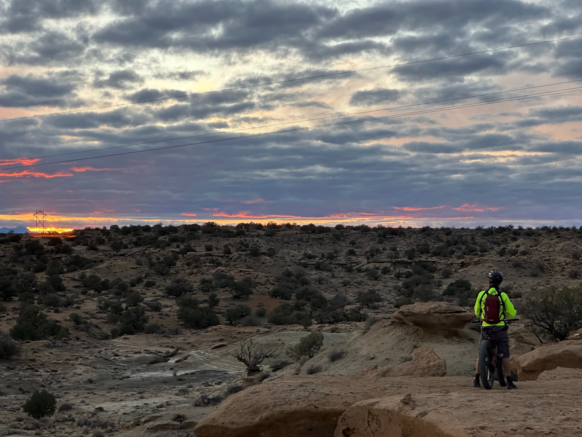
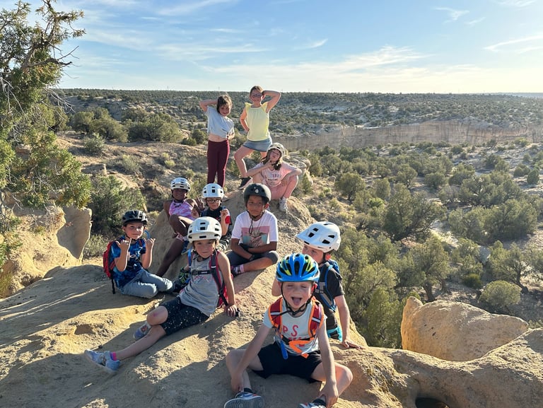
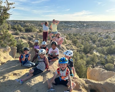
Sunset on the Boneyard Trail !

We do not own the rights to this music. All rights belong to the respective owner. No copyright infringement intended.
Vision
Inspire, nurture, and elevate a lifelong passion for mountain biking in the youth of the 4- Corners
Mission
Offer a diverse youth cycling program, develop local single track trails, and create a vibrant mountain biking community by organizing events and engaging volunteers.
Purpose
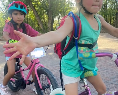
Provide safe, fun and inspiring opportunities for youth and the community to discover the joys of mountain biking while building friendships that can last a lifetime.
A special Thanks to our sponsors and partners!
Please show them appreciation when you can.